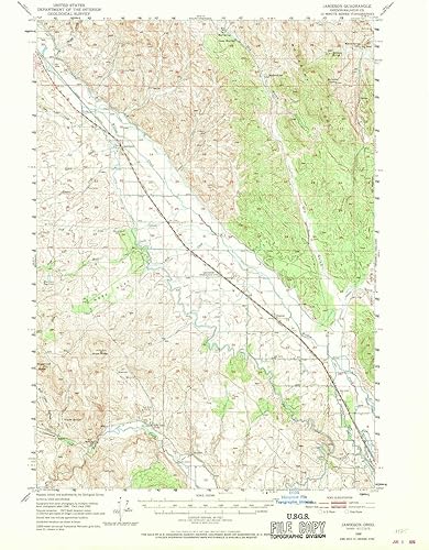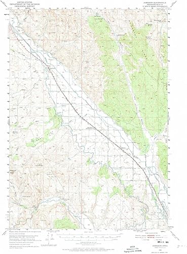
YellowMaps Jamieson OR topo map, 162500 Scale, 15 X 15 Minute, Historical, 1950, Updated 1974, 21.1 x 15.7 in
Categoría: Mapas Topográficos
Envío gratis
Precio y disponibilidad de YellowMaps Jamieson OR topo map, 162500 Scale, 15 X 15 Minute, Historical, 1950, Updated 1974, 21.1 x 15.7 in
$82.77
Stock disponible
Entrega estimada de 8 a 14 dias habiles en Venezuela.